
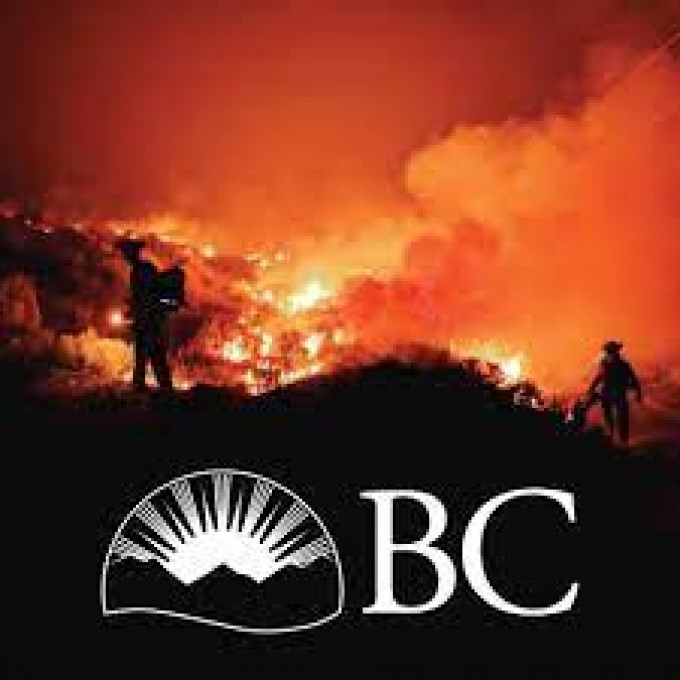
Increased Activity in the Southeast Fire Centre

By Southeast Fire Centre
Between July 21 and July 24, the Southeast Fire Centre responded to 23 lightning-caused wildfires that were a result of small storm systems passing through the region with limited rain, following a warming and drying trend.
Currently, none of these wildfires are impacting communities or infrastructure, though many are highly visible to the surrounding communities. As temperatures are forecast to increase to above seasonal norms, we expect to find new fires from this weather pattern in the coming days.
The Southeast had increased preparedness levels ahead of time, with additional crews and aviation resources prepared for the forecast storm activity in advance. Resource levels in the Southeast remain adequate for the current and anticipated conditions.
Some of the highly visible wildfires include:
Mount Ferguson (N70699)
Located approximately four km south of the community of Harrop, currently estimated to be 1.5 hectares in size and is not threatening structures at this time. There are two rapattack crews and an initial attack crew on scene being supported by two helicopters to cool the fire and move resources in difficult terrain. Ground crews are focused on fire suppression, building a helipad, and creating water delivery access. For more information on the ground crews working on this wildfire: http://ow.ly/6b8C50K2YGV
Frog Peak Cluster (N50677, N50683, N50684, N50685, N50686)
Located approximately 6.5 km west of the community of Passmore, and currently estimated to range in size from 0.009 – 1 hectare. There are two initial attack crews and two helicopters working on this cluster in a priority sequence, meaning fires closest to communities are prioritized first. No structures are threatened at this time.
Halfway Creek (N50704)
Located approximately 2.5 km east of the community of Salmo and currently estimated to be 0.009 hectares in size. This fire is burning in rocky and mountainous terrain. An initial attack crew is en route and while it is visible to the surrounding communities, it is not currently threatening structures.
As this is an evolving situation, we will continue to update the information over the next few days as needed and as detection continues.
Currently, 22 fires are burning in the Southeast Fire Centre. Since April 1, 2022, there have been 47 fires covering 67 hectares. The fire danger rating in the Southeast Fire Centre today is a mix of moderate and high with small pockets of extreme in the Kootenay Lake and Arrow zones.
The Southeast Fire Centre extends from the U.S. border in the south to Mica Dam in the north, and from the Okanagan Highlands and Monashee Mountains in the west, to the B.C.-Alberta border in the east.
To report a wildfire, unattended campfire, call 1 800 663-5555 toll-free or *5555 on a cell phone. For the latest information on current wildfire activity, burning restrictions, road closures and air-quality advisories, visit: http://www.bcwildfire.ca
Follow the latest wildfire news:
• Twitter at: http://twitter.com/BCGovFireInfo
• Facebook at: http://facebook.com/BCForestFireInfo


Comments