RDCK closes roads due to flooding in region
The Regional District of Central Kootenay is advising the public of road closures in the regional due to the deluge of rain the area has seen during the past few days.
The road closures include Goose Creek Road at 2565 Shoreacres in Shoreacres and Highway 31 10 kilometres north of the Coffee Creek Bridge.
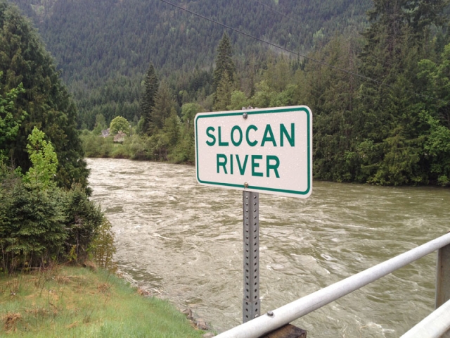
The Slocan Valley West Road, south of 3137 Slocan Valley West Road, is now open.
RDCK is also reporting that hydro lines are down 20 kilometers north of Kaslo at the Lardeau Bluffs. Traffic has been reduced to single lane traffic.
An evacuation alert for Slocan Valley West Road was lifted by the RDCK at noon Saturday.
“Residents throughout the region are being asked to monitor local streams, creeks and rivers for rising water,” the RDCK said in a media release.
“People should be aware of breaking ice dams and blocked culverts.”
“Sandbags are available at local firehalls, if needed,” the release added.
The Slocan Valley West road has been closed in the past during heavy rainfall and spring runoff.
Environment Canada forecast calls for rain Saturday, as much at 10 mm ending during the evening. Rain covers most of the forecast until Tuesday.
For highway closure information, see Drive BC website.
For local RDCK Flood Information Bulletins (when applicable) please see www.rdck.bc.ca
For information on debris flow hazards:
http://www.rdck.ca/assets/Services/Emergency~Management/Documents/Debris%20Flow%20Hazard%20Brochure_FINAL.pdf
For information on Flood Preparedness, How to Sand Bag; Creating a Personal Emergency Kit and current River Flow Levels from the BC River Forecast Centre check out: www.embc.gov.bc.ca











Comments