Heavy snow on the way for Wednesday; avalanche risk high
By Timothy Schafer, The Nelson Daily
He ain’t heavy, he’s my snowfall.
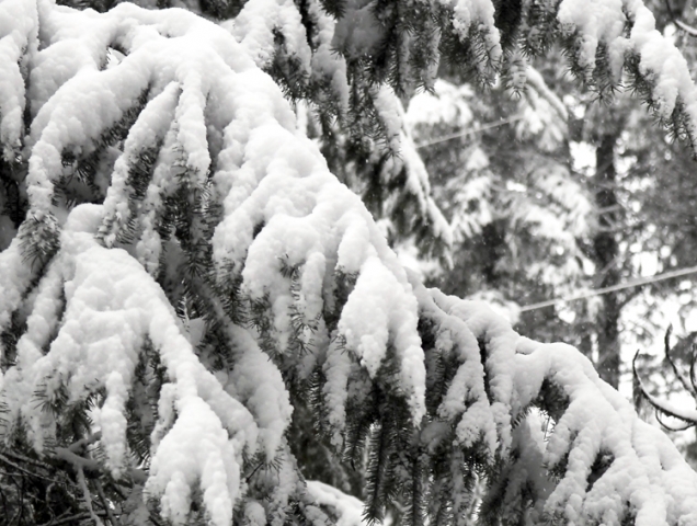
Heavy snow is on the way for Wednesday, according to Environment Canada, with around 30 centimetres — or one foot — descending from on high to us down low in Nelson.
Shovels are at the ready, and snow blowers are idling as a low-pressure, frontal system moves into the West Kootenay Wednesday, pushing heavy snow along with it. This is the second major snowfall that has been expect6ed in the last seven days — the last one did not happen.
However, snow is forecast to begin ahead of the frontal system tonight (Tuesday) and continue through the day on Wednesday. Snowfall amounts of 15 to 30 cm. are likely before snow tapers off later Wednesday afternoon over the Kootenays.
Any snow that does fall is not expected to stay for long, as precipitation should to turn to rain in Nelson Thursday morning, the Weather Network predicted.
Mild temperatures above the freezing mark are expected to stay in the region until at least Monday, even as late as Jan. 25.
Up in the backcountry, all of this snow means the potential for an avalanche hits high above the alpine on Wednesday and stays high through to Friday — the risk hitting high at the tree line by Thursday and into Friday.
Below the tree line the avalanche risk is considerable until Friday.
According to the Canadian Avalanche Centre’s Penny Goddard, the last cycle of natural and human-triggered avalanches in the West Kootenay has slowed right down.
Isolated size one and two avalanches were triggered naturally and by skiers on Sunday and Monday.
“Expect a sharp increase in avalanche activity as the next storm rolls in on Wednesday,” she wrote in her report for the West Kootenay.
Avalanches starting in storm snow could step down to deeply buried weak layers, creating large avalanches, she said.
Note:
Click here to check out a large (size four) natural avalanche that occurred in the southern Monashees on Sunday night.
This was a persistent slab avalanche. Similar events are possible this week if forecast new snow and wind loading overload deep snow pack weaknesses.
Source: Canadian Avalanche Centre


Comments