Environment Canada issues Special Weather Statement for Highway 3
This can’t be happening.
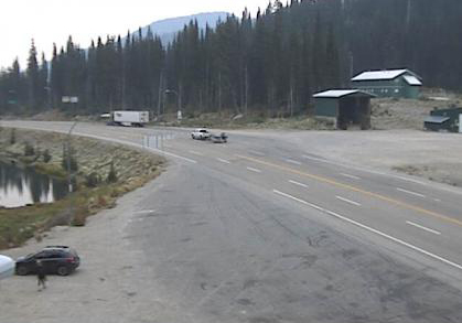
But Environment Canada is not mincing any words when it issued a Special Weather Statement Sunday for Highway 3, the Paulson Summit to Kootenay Pass.
“We expect the first taste of winter at higher elevations tonight and Monday morning in central and southern BC,” the Enivronment Canada Weather Statement said.
“A cold front will arrive tonight over the Coquihalla and Rogers Pass regions, then move toward Kootenay Pass by Tuesday morning. The cold air will continue to hang around through the upcoming week. Don’t be surprised if you see a few flakes over mountain top elevations in the next few days which may have little impact on travellers other than a change in the view.”
Environment Canada said if the snow makes an appearance on roadways, at most a few centimetres can be expected.
“With road temperatures still warm from a long and hot summer, the snow is not expected to stick,” Environment Canada said.
“However, with the possibility of snow in mind, high elevations travellers would be wise to prepare for winter driving conditions. The first snows of the season are usually slushy but can affect roadways.”
Environment Canada warns drivers that weather in the mountains can change suddenly resulting in hazardous driving conditions.
Road conditions are available at DriveBC.
Drivers are urged to continue to monitor alerts and forecasts issued by Environment Canada.
To report severe weather, send an email to ec.tempetepacifique-pacificstorm.ec@canada.ca or tweet reports using #BCStorm.












Comments